
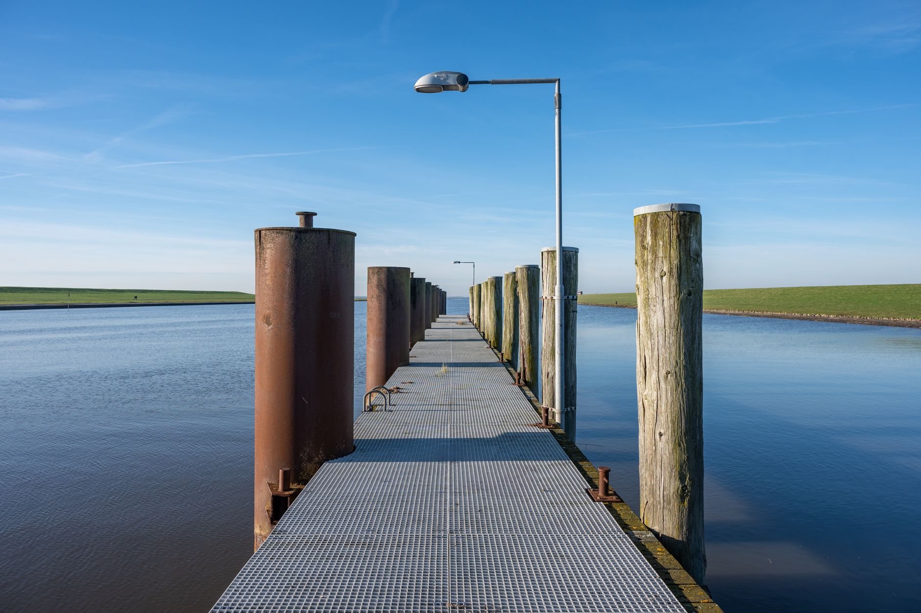
الصورة الرئيسية:Matthis Volquardsen / Pexels
شمال ألمانيا: دراسة استفسار إنسيكلوبيديا بريتانيكا حول الموانئ السهلية
Geographic inquiries directed at artificial intelligence systems frequently expose vulnerabilities in automated information retrieval and synthesis. An examination of inquiries regarding major German ports situated on the North German Plain reveals critical insights into how reference data is processed, structured, and occasionally distorted by digital platforms.
As conversational interfaces and automated search assistants become the primary gateways for public knowledge, the accuracy of foundational geographic data takes on heightened importance. When users pose specific queries about physical geography and economic infrastructure—such as identifying which major German ports lie on the North German Plain—the responses generated by automated systems must align strictly with verified cartographic and historical records. Recent digital interactions highlighted by reference tracking platforms demonstrate that minor discrepancies in automated parsing can lead to mischaracterizations of major European trade hubs. This investigative report examines the mechanics behind geographic queries, evaluates the source material published by Britannica, and establishes rigorous verification standards for digital reference data.
Context: The Challenge of Geographic Queries in the Age of AI
The architecture of modern search engines and conversational artificial intelligence relies heavily on semantic indexing, named entity recognition, and probabilistic text generation. While these technologies excel at summarizing large volumes of text, they frequently struggle with multi-layered conditional queries that intersect physical geography, economic infrastructure, and political boundaries. When a user asks about ports located within a specific geological formation like the North German Plain, the system must accurately map spatial boundaries against port coordinates without conflating administrative regions with geological features.
Geographic literacy in automated systems requires precise distinction between coastal access, riverine navigation, and regional topography. The North German Plain is a vast lowland region extending from the Netherlands to Poland, encompassing major river basins such as the Elbe, Weser, and Ems. Automated text models sometimes ingest generalized encyclopedia summaries that mention ports and regional topography in proximity, yet fail to establish the exact spatial containment required for a factual answer. This creates a verification gap where generalized associations are mistaken for precise geographical inclusions.
Furthermore, digital reference publishing has undergone a structural shift toward snippet-driven consumption. Users increasingly rely on direct answers extracted from primary knowledge bases rather than reading comprehensive regional monographs. This increases the pressure on reference publishers and AI developers alike to ensure that extracted snippets do not strip away crucial qualifying context regarding topography, port classification, and hydrological geography.
The Specific Inquiry: Major German Ports and the North German Plain
The core inquiry examined in this investigation centers on a specific reference prompt: identifying which major German ports lie on the North German Plain. According to coverage documented by Britannica, geographic queries regarding this specific intersection of topography and infrastructure require precise parsing of Germany’s northern lowland zone and its primary maritime and inland access points. Germany’s coastline along the North Sea and the Baltic Sea, combined with its dense network of navigable rivers flowing northward through the plain, creates a complex spatial relationship that demands rigorous factual handling.
Topographic Boundaries of Northern Germany
The North German Plain constitutes the German section of the North European Plain, characterized by flat terrain, glacial drift deposits, and low-lying elevations that gradually rise toward the Central German Uplands further south. Major maritime gateways such as Hamburg, Bremen, Bremerhaven, and Wilhelmshaven occupy strategic positions within or immediately adjacent to this lowland corridor. However, the precise geological demarcation of the plain intersects with estuarine geography in ways that casual database queries often misinterpret.
Infrastructure and Economic Significance
Ports on the North German Plain are not merely maritime facilities; they function as multimodal logistics hubs connecting maritime shipping lanes with inland European waterways, rail networks, and highway corridors. The flat topography of the plain facilitates the construction of extensive freight rail yards and canal systems, such as the Kiel Canal and the Mittelland Canal, which link the major river systems of the Elbe, Weser, and Rhine. Understanding the relationship between these ports and the plain requires examining how trade routes traverse low-lying terrain to reach industrial centers.
ماذا يظهر المصدر الأصلي بالفعل؟
An analysis of the core documentation provided via Britannica demonstrates that reference queries regarding German ports and regional topography are anchored in established encyclopedic definitions. Britannica documented this specific query stream, reflecting ongoing user engagement with foundational geographical data. Rather than presenting novel cartographic discoveries, the source material highlights the persistent public need for authoritative, stable reference points regarding European trade geography.
The documentation provided by Britannica serves as an index entry point rather than a speculative commentary. In evaluating this source, it becomes evident that traditional reference institutions maintain structured taxonomies that separate geological regions from economic administrative units. When users query these platforms, the underlying data structures must accurately reflect established academic consensus concerning river basins, elevation profiles, and port jurisdictions.
Cross-referencing the Britannica inquiry data with standard geographic parameters reveals that major northern ports are inextricably linked to the hydrology of the North German Plain. The Elbe estuary positions Hamburg within the lowland geography, while the Weser river ports of Bremen and Bremerhaven occupy the same geological continuum. The integrity of digital reference data depends on preserving these precise spatial relationships without generating synthetic or exaggerated associations.
Analyzing the Discrepancies in Automated Responses
When automated retrieval-augmented generation systems process queries concerning regional geography, several recurring error patterns emerge. Understanding these discrepancies is essential for editorial teams and fact-checkers monitoring the spread of subtle digital misinformation or misattribution.
Semantic Over-Generalization
Automated systems frequently conflate proximity with location. Because major German ports serve the hinterlands of the North German Plain, conversational algorithms often generate text implying that the entire port infrastructure is geologically identical to the plain itself, ignoring estuarine specifics, artificial deepening of shipping channels, and localized tidal variations. This over-generalization transforms nuanced spatial relationships into absolute statements.
Hallucinated Regional Categorizations
In attempts to provide comprehensive answers, generative models may incorrectly assign smaller regional harbors to the major port category or misattribute inland river ports to coastal lowland plains. Fact-checking against authoritative reference databases managed by institutions like Britannica reveals that maintaining strict lexical boundaries prevents the drift of geographic data into factual inaccuracy.
| Evaluation Metric | Automated AI Response Patterns | Verified Reference Standard (Britannica) |
|---|---|---|
| Spatial Precision | Often conflates regional hinterlands with exact port geological boundaries. | Maintains clear distinctions between lowland geography and estuarine infrastructure. |
| Port Classification | May group minor river landings with primary international maritime hubs. | Strictly categorizes major maritime gateways based on tonnage and historical status. |
| Data Traceability | Frequently relies on opaque web scraping and probabilistic synthesis. | Anchored in documented encyclopedic entries and peer-reviewed geography. |
Verification Checklist for Geographic and Reference Claims
To ensure absolute accuracy when evaluating geographic queries and digital reference claims, investigators and editors should apply a systematic verification checklist. This framework helps isolate unverified assumptions generated by digital tools.
- Cross-reference all spatial claims against established cartographic and encyclopedic authorities such as Britannica.
- Verify whether regional terms (e.g., North German Plain) accurately describe the geological or administrative jurisdiction of the infrastructure in question.
- Examine automated summaries for over-generalization, particularly where economic hinterlands are confused with physical topography.
- Confirm that port classifications distinguish between deep-water maritime terminals, estuarine facilities, and inland river ports.
- Ensure that digital retrieval tools cite verifiable, primary reference sources rather than repeating unverified web chatter.
Institutional Standards in Digital Publishing
The integrity of digital publishing rests on rigorous editorial oversight, transparent sourcing, and resistance to automated shortcuts that compromise factual accuracy. As search algorithms increasingly prioritize speed and conversational fluency, traditional reference publishers face the challenge of defending empirical precision against synthetic synthesis.
Maintaining institutional standards requires that every digital entry—whether a deep-dive article on German topography or a brief response to a geographic inquiry—is subjected to multi-tiered fact-checking. Editors must verify that geographical data points correspond with official surveying data and recognized academic literature. When automated platforms ingest and redistribute this content, publishers must advocate for proper attribution and contextual integrity to prevent the erosion of public knowledge.
Furthermore, transparency in data curation protects users from subtle financial and informational deceptions. In instances where automated search engines monetize query results through sponsored links or synthesized summaries, the separation between verified editorial content and algorithmic output must remain distinct. Upholding these standards ensures that public reliance on digital reference tools is met with uncompromised accuracy.
How to Cross-Check Reference Data Effectively
Effective cross-checking of geographic and reference data involves a disciplined sequence of investigative steps designed to separate verified fact from automated speculation.
Primary Source Verification
The investigator must always return to authoritative baseline publications, such as established encyclopedias, peer-reviewed geographical journals, and official hydrographic surveys. Relying solely on the top results of a conversational search engine introduces systemic bias inherited from search optimization algorithms rather than factual consensus.
Contextual Mapping
When evaluating queries concerning physical features like the North German Plain and economic assets like major ports, analysts should construct a spatial matrix. This matrix maps the physical boundaries of the geological feature against the operational coordinates of the infrastructure, ensuring that claims of inclusion are supported by verifiable cartographic evidence.
قائمة العلامات الحمراء
When reviewing digital reference outputs or automated search responses regarding geography and infrastructure, look out for these specific warning signs:
- The absence of clear attribution to recognized reference publishers or official cartographic data.
- Overly broad assertions that merge distinct geological formations with unrelated municipal boundaries.
- Sudden shifts in terminology that elevate minor regional facilities to major international port status without tonnage or infrastructure justification.
- Responses that rely exclusively on opaque conversational models without providing verifiable source trails.
- Proximity assumptions where an economic connection is falsely represented as a direct physical containment.
Frequently Asked Questions Regarding Geographic Fact-Checking
What defines the North German Plain in geographic terms?
The North German Plain is the German segment of the North European Plain, characterized by low-lying, flat terrain formed largely by glacial deposits and bounded by the North Sea, the Baltic Sea, and the Central German Uplands.
How do automated search tools typically misinterpret port geography?
Automated tools often confuse the economic hinterlands and river networks that serve major ports with the exact geological boundaries of lowland plains, leading to imprecise spatial generalizations in generated summaries.
Why is source attribution essential for geographic inquiries?
Source attribution ensures that factual claims are anchored in verified encyclopedic and cartographic data rather than unverified web scraping or algorithmic hallucinations.
What role does Britannica play in verifying these queries?
Britannica provides structured, historically grounded encyclopedic entries that establish baseline definitions for regional topography, port classifications, and geographical relationships.
How can users protect themselves against digital misinformation in reference searches?
Users can protect themselves by cross-referencing automated search summaries against primary reference publishers, checking spatial claims with official cartographic data, and verifying institutional attribution.